The first important step in any construction or public works project is understanding what is located under the surface of the ground. If utilities are not located precisely and in time, potential delays, expensive issues, and safety hazards may arise and worsen the situation. With the help of subsurface utility engineering, project planners and construction workers can prevent such risks by determining the locations of underground utilities in advance.
Subsurface utility engineering (SUE) is an innovative technique that employs modern mapping technologies and field tests to locate underground utilities prior to their excavation. This technique plays an extraordinary role in risk management during project preparation and project delivery. By learning how to use the advantages of SUE, planners will not only become familiar with the challenges to locate underground utilities but also make informed decisions in delivering their construction projects. Moreover, the use of SUE is beneficial for both large-scale and small-scale constructions because it decreases the risks of unknowns, reduces the chances of delays and ensures maximum safety on-site.
Utilization of Subsurface Utility Data
Utilization of subsurface utility data is essential for infrastructure projects of any scale. According to the data obtained from the Federal Highway Administration, unforeseen conflicts of utilities are among the main reasons of delays and cost overruns in construction. Thus, by employing the SUE service as part of the construction process, engineers and managers can avoid problems, reports USA Property Management company. The systematic collection of perfect utility data allows the enterprise to comply with regulatory requirements thus eliminating the risk of incurring penalties or halting the project.
Technological progress in the sphere of utility mapping
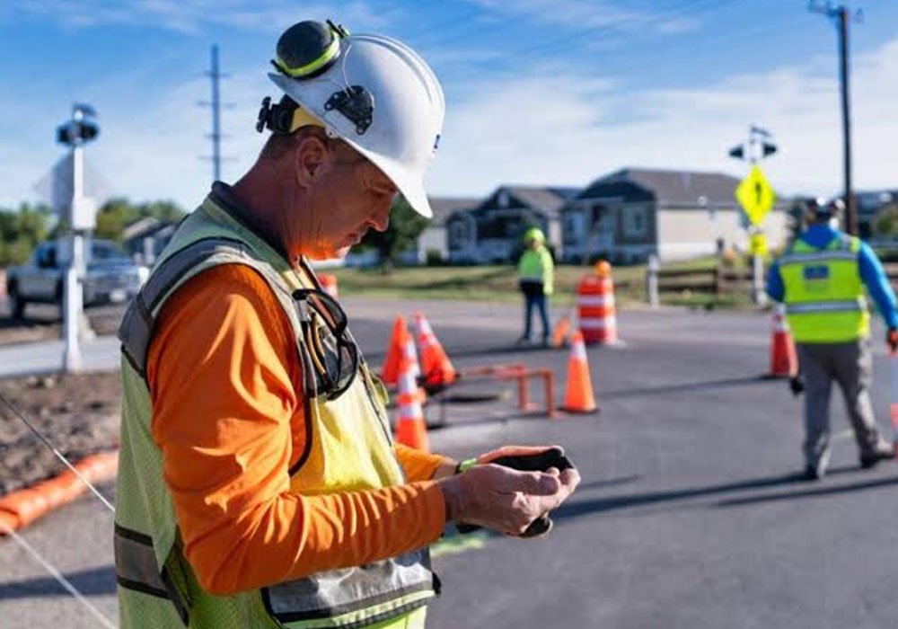
The past decade was characterized by the rapid development of mapping technologies, which brought significant changes to the area of subsurface utility engineering. At present, a variety of devices (ground-penetrating radar, electromagnetic induction, and advanced LiDAR scanning) are used to help engineers detect, see, and identify utility installations. With their help, many projects become more efficient, as now engineers can create vivid three-dimensional images of the essential infrastructure. In New York, for instance, work is in progress to create special systems for collecting information about utility networks that will allow all municipalities in the city to collect the utility data according to one standard.
Examples of successful realization
The experience of Boston shows that the application of subsurface utility engineering enables avoiding numerous construction problems. While looking for utility lines in Boston’s Back Bay, the engineers managed to find many things which made their construction much easier. The innovations discovered in the course of the research let them skip accidents and make the work of different municipal authorities much more efficient. Whenever documents are given to a service provider, there could be a possibility that some of these documents are inaccurate. Urban zones offer various challenges that may complicate the process of urbanization; for instance, lines may confuse one another, and marking may not be present. This means that physical access for surveying and records may be hard because of the surroundings. Therefore, it is crucial for the experts to communicate with various stakeholders involved in the process of utility engineering to make sure their assumptions are confirmed.
Difficulties with Accessing Utility Data
Even though there have been improvements in technology over the years, it is still hard to obtain accurate subsurface utility information. Utility companies provide documents that can either be out of date or simply do not contain sufficient data necessary for the project, which can be particularly true for the older cities, where many changes could result in unaccounted underground conditions. Moreover, urban areas are also characterized by a number of challenges, such as overlap of underground lines, improper markings of lines, and inaccessible places, which complicate even the fieldwork process. To overcome these barriers, it is essential to engage specialists with enough experience and utilize a variety of modern equipment.
Some Suggestions for Utility Data Use
- The first thing you should do is apply for subsurface utility engineering as soon as you start your construction. The sooner you find out about utility issues, the less trouble you will have while doing your job.
- Instead of relying on traditional methods of surveying, you should use some mapping equipment and technology as well. The combination of modern technology and traditional approach can create a complete picture of the place you will be working on.
- Keep your utility records concise and precise and share these findings with everyone involved in the process.
- Encourage collaboration between contractors and utility operators in order to make the process easier as well as get the information you wish to get in a timely manner.
Future Trends in Subsurface Utility Engineering
All in all, the outlook for subsurface utility engineering is promising thanks to the emergence of new technologies. One can expect that the development of smart technologies will require using predictive layout modeling based on the past experience.
Final Notes
Regardless of the project size, subsurface utility treatment is an inevitable part of reducing risks, controlling costs, and upholding the safety of people and infrastructure. The benefits of modern technologies and methodologies make the project manager believe that all possible issues related to subsurface utilities can be effectively addressed.